FAQ and contact
Short answers, and how to download the app.
Frequently asked questions
Does it need the internet?
No. The map, field entries and radio communication work without Wi-Fi or mobile data. You only need the internet to download maps beforehand, for elevation data in line of sight, and for the optional server.
Is it a Bluetooth mesh?
No. Bluetooth only covers the link from the phone to the bridge. The radio makes the network between teams.
Which radios work?
A suitable radio with a serial port is tested. Any radio with a data mode is expected to work but have not been verified. Details.
What are channels A, B and C?
They are the three ways to send: A through Android share, B through the radio to everyone, C through a server to one recipient or group. See the Communication page.
Can I send a photo or PDF?
Only if it is up to 60 KB. That is a limit of the bridge protocol. If a chunk is lost, the whole file is resent.
Is it on Google Play?
Yes, as an open test. See below how to download it.
Is there a computer app?
There is a Windows app for downloading maps (Satellite MBTiles Downloader), see the Maps page. IRIS 3 PC Edition for the operations centre is under development.
Which datum does it use?
WGS84 or ED50, chosen in Settings. The whole team must use the same one.
Is the data in the screenshots real?
No. All demo data is fictional.
Is it an official armed-forces product?
No. It is an independent project and an aid. It does not replace official equipment and approved procedures.
Download and contact
The app is available in open testing on Google Play. To try it:
- Scan the QR code, or open the link, on an Android device.
- On the page that opens, tap “Become a tester”.
- Download the app from Google Play.
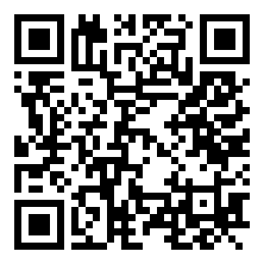
https://play.google.com/apps/testing/com.iris3.app
Feedback and contact
For comments, suggestions or problems, send an email.